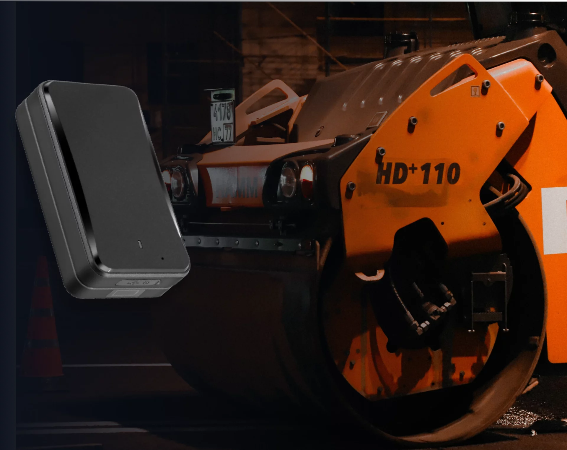
GPS asset tracking uses satellite signals to pinpoint the exact outdoor location of your physical equipment in real time.
By attaching a small, battery-powered GPS tracker to mobile assets—like shipping containers, trailers, trucks, or heavy construction machinery—you can monitor their movements on a live map. This helps managers optimise delivery routes, set up alerts if equipment leaves a jobsite (geofencing), and quickly locate stolen or misplaced assets in remote areas.
How GPS Tracking Devices Transmit Data
While GPS satellites help the device determine its own location, the device needs a way to send this coordinate data to the asset tracking software:
- Cellular GPS Trackers: These devices use cellular networks (like 4G/5G or LTE-M) to transmit location updates. They are the most common and cost-effective solution for assets operating within populated areas.
- Satellite GPS Trackers: For assets in extremely remote locations—such as offshore shipping or desert mining sites—devices transmit data directly to satellite networks, ensuring global coverage regardless of local cellular signals.
![]()
Key Features of GPS Tracking Systems
- Real-Time Location Updates: Continuous monitoring of assets on live maps.
- Geofencing: Setting virtual geographic boundaries that trigger automated alerts if an asset leaves a designated area.
- Route History: Reviewing historical travel logs to optimise delivery routes and confirm proof of delivery.
- Sensors and Telematics: Monitoring speed, fuel usage, engine diagnostics, and temperature (essential for cold chain monitoring).
See how itemit’s asset tracking software brings GPS, QR, and RFID tracking together in one platform.
